 Square
Bhiwandi DP Plan:
official maps & plot checks.
Looking for a Bhiwandi DP plan PDF or a development-plan map? Find the official BNCMC and MMRDA sources here, understand which document you have, and establish what to check for your property before planning a building.
One place name.
Different planning contexts.
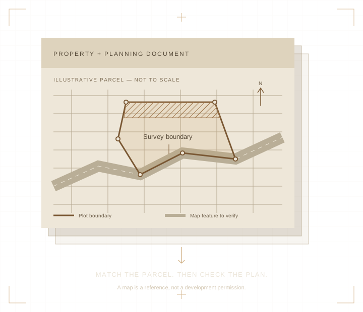
A “Bhiwandi” address is not enough to choose a plan. Start with the exact village, survey or CTS reference and the actual property boundary. Then confirm the applicable authority.
Do not choose by the nearest town or landmark. A postal locality, a map pin or a village name can help locate the question, but none should be used alone to confirm jurisdiction. If the boundary is unclear, ask the relevant authority or arrange a plot-specific review.
The source first.
The interpretation second.
Direct official links, freely accessible. We have checked the documents below; draft, sanctioned and historical material are deliberately kept separate.
Files open on the authority's website in a new tab. Download sizes are approximate decimal MB unless marked “catalogue size”. Large maps are best opened on Wi-Fi. A filename, upload year or search result saying “2026” does not establish a new sanctioned plan.
Bhiwandi–Nizampur City Draft Revised Development Plan 2023–43
The cover identifies publication under section 28(4). The catalogue filename is “Bhiwandi PLU Report_25_08_2025_28(4).pdf”. This proposed-land-use report is not, merely by being online, evidence of final sanction.
Open official draft PLU report (PDF, new tab)Report period: 2023–43. Filename date: 25 August 2025.Municipal DP map sheets & modification material
The Town Planning catalogue lists letter-and-number map sheets, files labelled “New Modification_13-8-2025”, and older DP images. Locate the relevant sheet and read its own title, legend and notice; do not treat every listed image as the same version.
Choose a map in the official catalogue (new tab)Some filenames refer to 13 August 2025. No blanket sanction date is inferred.BSNA Clear Combined DP 1M
Listed by MMRDA among clear sheets for understanding sanctioned SM and EP maps. Use the combined sheet to orient yourself and identify the relevant detailed sheet. Read the associated notifications and subsequent changes as well.
Open official BSNA combined map (PDF, new tab)File size checked from the official download's response headers on 20 October 2026. Detailed clear sheets 1M1–1M11 are listed separately in the catalogue.Map of Sanctioned DP of BSNA along with revised alignment of MMC
The official catalogue places this sheet with an approved note. The map contains its own legend and sanction references. Use it with that note and the relevant certified plan—not as a stand-alone finding about a plot's road impact.
Open official revised-alignment map (PDF, new tab)Read the companion approved note (PDF, new tab)BSNA DP SM Notification
A notification reference in MMRDA's sanctioned/published document group. The catalogue separately lists an EP notice and later material. Match the actual notification and map reference before deciding which record applies.
Open official SM notification (PDF, new tab)For later decisions and Excluded Part records, return to the BSNA catalogue.“Development Plan Bhiwandi.pdf”
The catalogue's general filename opens an older scanned report whose cover says “Draft Development Plan”, “Revised” and “A Brief Report”. It is not the 2023–43 PLU report. Its present legal applicability cannot be established from that filename or cover alone.
Open the official scanned report (PDF, new tab)Kept here to help you distinguish files—not presented as a current plot certificate.From a download
to a useful question.
This sequence helps organise research. It does not determine ownership, fix a surveyed boundary or grant development rights.
Identify the property
Village, survey/gat or CTS reference as applicable, available records, location and actual boundary information. Keep old and new identifiers together.
Confirm the authority
Investigate municipal or notified-area jurisdiction from the parcel—not from “Bhiwandi” in the postal address.
Match the document
Use the key map to locate the sheet. Check the title, legend, publication stage, notifications and any later changes.
Record the uncertainty
Note the zone, reservation or road reference you need checked. Do not calculate a buildable area from a screenshot or colour alone.
Request assessment
Seek the appropriate authority remark or certified information and professional review for the actual proposal before committing to development.
A map has layers.
So does the question.
Use the legend printed on the specific sheet. Similar colours or abbreviations in another plan are not a safe substitute. The official revised-MMC sheet itself directs readers to the certified plan and Gazette notifications if there is a discrepancy.
- Zone / proposed land use
- A planning designation to investigate with the applicable document and rules. It is not a building permission or a title opinion.
- Reservation or numbered symbol
- Record its exact label and reference. Confirm the extent and current status; do not assume acquisition, deletion or release from a coloured patch.
- Road or corridor line
- Distinguish the existing road, a proposed line and a revised alignment. The plot boundary and authority's record must be reconciled before assessing the impact.
- SM / EP material
- These belong to the plan's sanction/modification history. An Excluded Part label is not a statement that the land is free of restrictions.
What do you already have?
Tick items as a personal reading checklist. Nothing is uploaded, saved or sent from these checkboxes.
Missing a record? Say so. Do not guess a survey number, boundary or approval status. A consultation can help define which information needs to be obtained next.
Need help organising the property file?Before you rely
on the download.
Where can I download the Bhiwandi DP plan PDF?
Start with the official document directory above. BNCMC publishes municipal planning material; MMRDA publishes separate BSNA material. There is no single file here that should be treated as the applicable plan for every property with a Bhiwandi address. Confirm the parcel's jurisdiction, map sheet and document status.
Is the BNCMC 2023–43 report a sanctioned plan?
The inspected cover expressly describes a Draft Revised Development Plan published under section 28(4). This guide does not establish that report as finally sanctioned. Check the authority's current notifications and the status applicable to the exact site before relying on it.
Is there a separate Bhiwandi DP plan for 2026?
A year in a search query, upload path or third-party filename is not evidence of a new sanctioned development plan. Check the plan title, publication stage, relevant Gazette notifications and later modifications. The source-check date on this guide is not a new plan's sanction date.
Can a DP map tell me exactly what I can build?
Not on its own. A proposal needs an identified parcel, appropriate authority information, the applicable planning and development controls, access and other site-specific checks. A planning map also does not settle ownership or replace legal advice. Our land and site feasibility consultancy helps define the assessment required.
What if the plot appears near a road line or reservation?
Keep the sheet reference and the relevant legend or notice. Obtain reliable boundary information and seek a plot-specific authority remark or professional assessment. Do not promise a setback, compensation entitlement or a particular developable area from a low-resolution image.
What do these documents mean for your Bhiwandi plot?
Tell Square Space what you own, what you hope to build and what is unclear. We can discuss the site, available planning information and the appropriate scope for an architectural assessment. Any further document work, specialist review or authority coordination is agreed separately.
Calling? Please mention “Square Space website” so the team knows where you found us.

Check the original.
Authority catalogues and files were checked on 20 October 2026. Public resources remain available without an enquiry or registration on this website.
- BNCMC — Town Planning Department and downloadable files (official, new tab)
- MMRDA — Bhiwandi Surrounding Notified Area, map catalogue and notifications (official, new tab)
This is general research and enquiry-preparation guidance, not a statutory remark, certified plan, cadastral survey, legal opinion or permission to build or occupy. Status, boundaries and requirements must be confirmed for the actual property and proposal. Official links, catalogues and procedures can change; the competent authority's current records govern.